
Resources
Take a tour of Tennessee’s most beautiful places and explore the parks featured in Beautiful Tennessee.
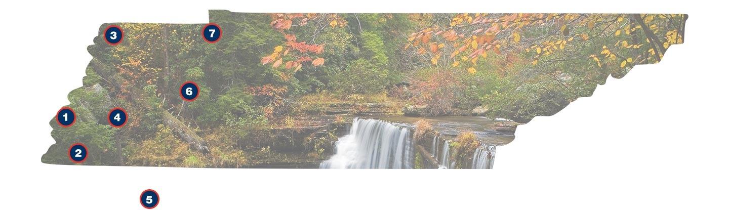
West Tennessee
1. Mississippi River
The Mississippi River is the western boundary of state and the largest river in North America. Forty-one percent of the continental United States drains into this massive waterway. Along the banks of the Mississippi are found some of the most fertile lands in Tennessee.
In the Northwest corner of our state Reelfoot Lake was formed from floodwaters of the Mississippi River during a series of earthquakes in the early 19th Century.
There are four state parks that feature the beauty, history and impact of the Mississippi River on Tennessee.
Links:
Tennessee State Parks – Reelfoot Lake
Tennessee Natural Areas – Fort Pillow
Tennessee Natural Areas – Meeman-Shelby
Tennessee State Parks – T.O. Fuller
2. Wolf River
75 Miles outside of Memphis, the Wolf River is a truly unique western Tennessee gem. In Fayette County, a 2,200 acre area of the Wolf has been protected for its wild scenic beauty and recreational value. The Ghost River State Natural Area offers access to boaters looking to test their navigational skills on the Ghost section of the Wolf River. This portion of the river highlights tupelo cypress swamps and an undefined river path. The area is managed by the Tennessee Wildlife Resources Agency.
Links:
Dept. of Environment and Conservation – Ghost River
Wolf River Conservancy
3. Reelfoot Lake State Park
3120 State Route 213
Tiptonville, TN 38079-9799
(731) 253-7756
(800) 250-8617
Reelfoot Lake was created by a series of earthquakes in the winter of 1811-12, making it Tennessee’s only natural lake. Located in the northwest corner of the state, this 18,000 acre park is a popular destination for observing bald eagles.
Recreation:
Picnicking, hiking, camping, boating, fishing.
Links:
Tennessee State Parks – Reelfoot Lake
Tennessee Natural Areas – Reelfoot Lake
4. Hatchie River
Hatchie National Wildlife Refuge
6772 Highway 76 South
Stanton, TN 38069
(731) 772-0501
The Hatchie River is the last unchanneled tributary of the Lower Mississippi. Most of West Tennessee’s rivers have been channeled and augmented to manage flood waters and provide irrigation to the many farms of this fertile region.
The Hatchie is a treasure of wild scenic beauty and almost 12,000 acres of its wetland and wooded banks are now protected as the Hatchie National Wildlife Refuge. The refuge is a crucial resting place for migratory birds making their journey across North America.
Links:
Hatchie National Wildlife Refuge
The Nature Conservancy
5. Natchez Trace Parkway
The Parkway Visitor Center
Milepost 266 (near Tupelo, Mississippi)
(800) 305-7417
The 444-mile parkway follows the general route of the Old Natchez Trace, the frontier road, linking Nashville to Natchez, Mississippi.
Recreation:
Scenic drives, hiking, camping, biking, swimming, boating, fishing, horseback riding.
Link:
National Park Service – Natchez Trace
6. Natchez Trace Park State Park
24845 Natchez Trace Road
Wildersville, TN 38388-8329
(731) 968-3742
(800) 250-8616
The 48,000 acre park was named for the old Natchez Trace, even though the original road was east of the property. The park contains numerous gullies, many of which are overrun by kudzu, a Japanese vine introduced to halt erosion.
Recreation:
Picnicking, hiking, camping, swimming, boating, fishing, horseback riding.
Link:
Tennessee State Parks – Natchez Trace State Park
7. Paris Landing State Park
16055 Hwy 79 N.
Buchanan, TN 38222-4109
(731) 641-4465
(800) 250-8614
Located on the western shores of Kentucky Lake, this 841 acre park was a former steamboat and freight landing, dating back to the mid-1800s.
Recreation:
Picnicking, camping, swimming, fishing, golf. The park has a marina, but no boat rentals.
Link:
Tennessee State Parks – Paris Landing
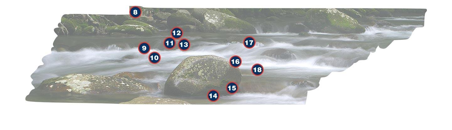
Middle Tennessee
8. Land Between the Lakes National Recreation Area
100 Van Morgan Drive
Golden Pond, KY 42211 (mailing address)
(270) 924-2000
(800) 455-5897
This 170,000 acre parcel of land sits between Kentucky Lake on the west and Lake Barkley on the east. It’s the largest inland peninsula in the United States and it contains the largest publicly owned buffalo herd east of the Mississippi River.
Recreation:
Hiking, camping, biking, swimming, boating, fishing, hunting, horseback riding, off-highway vehicle area.
Link:
USDA Forest Service – Land Between The Lakes
9. Hurricane Mills
Loretta Lynn’s Dude Ranch
1877 Hurricane Mills Rd.
Hurricane Mills, TN 37078
(931) 296-7700
Hurricane Mills Tennessee, a rural community just west of Dickson, was founded in the early 1800’s and subsisted on the iron industry until the economy shifted towards the development of the flour mill.
The Hurricane Mill ground various grains brought in from the region. The flour was then distributed throughout the Southern US.
The mill that stands today was built in the 1890’s. The site is owned and operated as a museum by country singer Loretta Lynn, a resident of Hurricane Mills since 1966. It was placed on the National Register of Historic Places in 2000, and as part of Loretta Lynn’s estate, is the seventh most visited tourist attraction in Tennessee.
Link:
Loretta Lynn Ranch
10. Duck River
The Duck River, cutting 270 miles across middle Tennessee, is the longest river completely held within the borders of our state. It is also one of the most biologically diverse rivers in the world.
The Duck supports over 100 species of fish, 20 species of aquatic snails and 50 species of freshwater mussels. There are more species of freshwater mussels in the Duck River than all the rivers on the European continent combined.
11. Montgomery Bell State Park
1020 Jackson Hill Road
Burns, TN 37029
(615) 797-9052
(800) 250-8613
Located in Dickson County, the 3,782-acre park was named for the industrialist who manufactured iron from the land. The park contains remnants of an iron furnace as well as a replica of the first Cumberland Presbyterian Church, which was established on the land.
Recreation:
Picnicking, hiking, camping, biking, swimming, boating, fishing, golf.
Link:
Tennessee State Parks – Montgomery Bell State Park
12. Narrows of the Harpeth
1254 Narrow of the Harpeth Road
Kingston Springs, TN 37082
(615) 952-2099
This site is home to the Narrows Tunnel, one of the oldest man-made tunnels in the United States. Designed by Montgomery Bell and built by his slaves, this 290-foot tunnel provided waterpower for Bell’s iron manufacturing operation.
Recreation:
Hiking, boating, fishing.
13. Radnor Lake State Natural Area
1160 Otter Creek Road
Nashville, TN 37220
(615) 373-3467
Radnor Lake is located eight miles south of downtown Nashville. In 1914, the L & N Railroad Company created the 85-acre lake to provide water for steam engines and livestock at nearby Radnor Yards. In 1973, 747 acres of the property were preserved, making Radnor Lake Tennessee's first protected eco-system.
Recreation:
Hiking. (Biking, jogging and dog walking are allowed on the roadway by the lake.)
Links:
Tennessee State Parks – Radnor Lake
Friends of Radnor Lake
14. Falls Mill
134 Falls Mill Road
Belvidere, TN 37306
(931) 469-7161
Located in southern middle Tennessee, Falls Mill is in operation grinding corn for cornmeal and grits. The mill was built in 1873 and is listed on the National Register of Historic Places. Initially, Falls Mill served as a cotton and wool factory.
The mills design integrates a historic 32 foot steel waterwheel. Manufactured by Samuel Fitz in the mid 1800’s, the wheel’s overshoot design and precise construction improved efficiency and allowed for year round operation.
Now privately owned and operated as a mill and museum, visitors can explore and enjoy the historic and scenic environment.
Link:
Falls Mill
15. South Cumberland State Park
Route 1, Box 2196
Monteagle, TN 37356
(931) 924-2980
Stone Door: (931) 692-3887
Savage Gulf: (931) 779-3532
Located along the southern section of the Cumberland Plateau, the park totals over 16,000 acres and is comprised of ten different areas, including Savage Gulf and Foster Falls.
Recreation:
Picnicking, hiking, camping, swimming, fishing, caving, visiting historic ruins, rock climbing, rappelling.
Links:
Tennessee State Parks – South Cumberland State Park
Friends of South Cumberland State Recreation Area
Savage Gulf /Stone Door
Savage Gulf contains some of the last known stands of virgin timber in the eastern United States and some of the most spectacular natural rock formations in Tennessee. The Great Stone Door, located at the western end of the Salvage Gulf-Stone Door trail system, is a 150-foot deep crevice at the crest of the Plateau.
Links:
Tennessee Natural Areas – Savage Gulf
Friends of South Cumberland State Recreation Area – Savage Gulf
16. Rock Island State Park
82 Beach Road
Rock Island, TN 38581-4200
(931) 686-2471
The 883 acre park is located on the Caney Fork River and is adjacent to the TVA Great Fall Dam and hydroelectric plants. A highlight of the area is the Twin Falls, an 80-foot tiered waterfall, which can be viewed from an overlook across a limestone gorge (or gulf).
Rock Island State Park provides access to one of Tennessee’s many impressive waterfalls located on or near the Cumberland Plateau. Great Falls is located on the Caney Fork River just below the TVA power station. Above the dam, Center Hill Lake is accessible and offers ample fishing opportunities.
The park is also known for its recreational boating and numerous swimming holes frequented by locals and visitors alike.
Recreation:
Picnicking, hiking, camping, swimming, boating, fishing.
Links:
Tennessee State Parks – Rock Island State Park
Great Falls Reservoir
Caney Fork River
The Caney Fork River is known for fishing and boating opportunities. The river winds its way off the Cumberland Plateau and is a major tributary of the Cumberland River. Many motorists on I-40 are familiar with the Caney Fork, as it courses under numerous interstate bridges.
The Caney Fork is often stocked for trout fishing and runs through Rock Island State Park in Rock Island, Tennessee.
17. Burgess Falls State Park
4000 Burgess Falls Drive
Sparta , TN 38583-8456
(931) 432-531
Burgess Falls State Park is another breathtaking waterfall on the edge of the Cumberland Plateau. A short hike in Burgess Falls State Park reveals three cascades escalating in height and magnitude. While both the Upper and Middle falls are worth a visit, the Lower Falls (Burgess Falls) is spectacular.
After substantial rainfall, the lower falls is completely covered by cascading flows of water and is a masterful example of the power of water to sculpt and carve the rocky structure emblematic throughout the region.
The rocky bluffs and chiseled gorge below Burgess Falls represent the work of three geological periods and over 350 million years.
Link:
Burgess Falls State Natural Area
18. Fall Creek Falls State Park
10821 Park Rd
Spencer, TN 38585
(423) 881-5298
Fall Creek Falls is located about 2 hours southeast of Nashville in Bledsoe and Van Buren counties. The 15,000 acre park is home to a 256-foot waterfall, the highest waterfall east of the Rocky Mountains.
Recreation:
Picnicking, hiking, camping, biking, swimming, boating, fishing, golf.
Links:
Tennessee State Parks – Fall Creek Fall State Park
Friends of Fall Creek Falls State Park
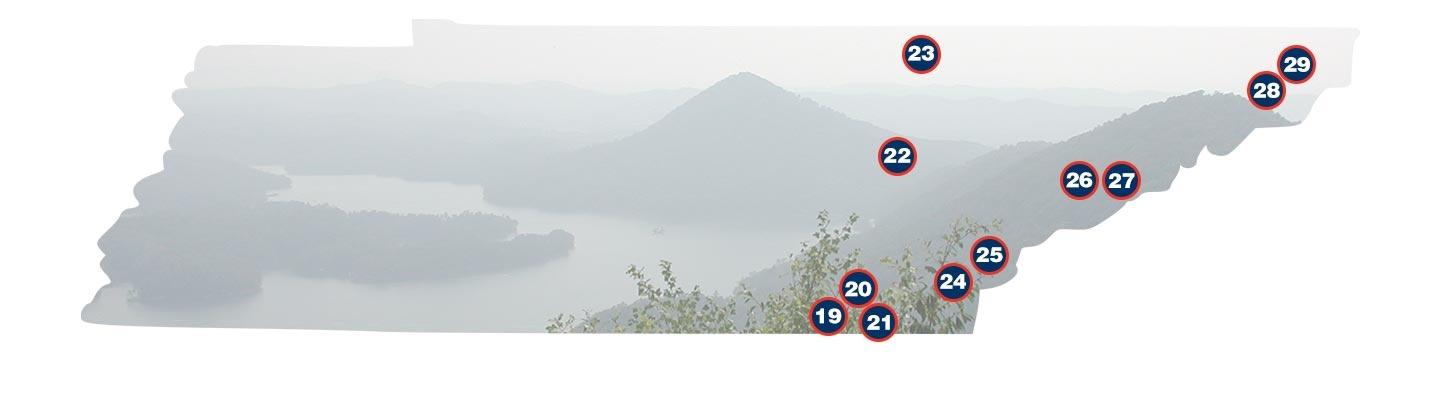
East Tennessee
19. Foster Falls
Foster Falls is a sixty-foot waterfall that marks the southern end of the Fiery Gizzard Trail.
Recreation:
26 rustic campsites ideal for tents or small trailers.
Link:
Friends of South Cumberland State Recreation Area – Foster Falls
20. Hiwassee River
In 1968, Tennessee initiated legislation to preserve its most treasured scenic rivers outside the protection of parks. Tennessee’s first designated State Scenic River was the Hiawassee River, just outside of Cherokee National Forest.
Prior to the Trail of Tears, the Hiawassee River valley represented a significant settlement for the Cherokee. This fertile region provided a natural bounty for thousands of years. During the Cherokee removal of 1838, internment camps were created along its banks.
Today, the Hiawassee is enjoyed for its trophy trout fishing, recreational boating and breathtaking beauty. Its designation as a state scenic river, along with improved monitoring and dam releases by the Tennessee Valley Authority, make the Hiawassee one of the best fishable tail waters in the Eastern United States.
Eventually the Hiawassee feeds into the Tennessee River northeast of Chattanooga.
Link:
Scenic Rivers Program
21. Cherokee National Forest
2800 Ocoee St N
Cleveland, TN 37312
(423) 476-9700
The Cherokee National Forest lies in the heart of the southern Appalachian mountain range. Stretching from Chattanooga to Bristol, the 640,000 acre forest is the
largest tract of public land in Tennessee and the state’s only national forest.
Recreation:
Scenic drives (HWY 77), picnicking, hiking, camping, biking, swimming, boating, whitewater rafting, fishing, hunting, horseback riding, off-highway vehicle area.
Link:
USDA Forest Service – Cherokee National Forest
22. Ozone Falls
Ozone falls is located in the heart of the Cumberland Plateau and provides a breathtaking example of the many falls in the region. Its location in Cumberland County and proximity to I-40, make the falls an easily accessible scenic area for locals and visitors.
Ozone falls State Natural Area features the 110 foot falls and plunge pool below. Water below the falls feeds a natural spring which later resurfaces as Fall Creek.
23. Big South Fork National Recreation Area
107 Park Headquarters Road
Gatlinburg, TN 37738 (mailing address)
(865) 436-1200
Located in north central Tennessee and southeastern Kentucky, Big South Fork encompasses 125,000 acres and contains some of the most rugged terrain of the Cumberland Plateau. The Cumberland River and its tributaries flow freely through the area and years of erosion have created impressive cliffs and arches.
Recreation:
Hiking, camping, biking, boating, whitewater rafting, fishing, hunting, horseback riding.
Link:
National Park Service – Big South Fork
24. Hiwassee/Ocoee Scenic River State Park
Spring Creek Road
Delano, TN 37325
(423) 263-0050
Ocoee-Hiwassee Ranger Station
3171 Highway 64 E
Benton, TN 37307
(423) 338-3300
The park is located in the southern end of the Cherokee National Forest. The Ocoee, known for world-class whitewater, hosted the 1996 Olympic Canoe and Kayak Slalom competitions.
Recreation:
Scenic drives, picnicking, hiking, camping, biking, swimming, boating, whitewater rafting, fishing, hunting, horseback riding, off-highway vehicle area.
Links:
USDA Forest Service – Cherokee National Forest – Ocoee River
USDA Forest Service – Ocoee Whitewater Center
USDA Forest Service – Cherokee National Forest – Hiwassee River
Tennessee State Parks - Hiwassee/Ocoee Scenic River State Park
25. Bald River Falls
Cherokee National Forest Headquarters
2800 N. Ocoee St.
Cleveland, TN 37312
(423) 476-9700
Bald River Falls is a jewel of the southern portion of Cherokee National Forest. Near Tellico Plains TN, Forest Service Road 210 drives directly below Bald River Falls and offers a popular spot for photographs.
Link:
Cherokee National Forest
26. Laurel Falls
Great Smoky Mountains National Park
107 Park Headquarters Road
Gatlinburg, TN 37738
(865) 436-1200
In the Great Smokey Mountains National Park, the hike to Laurel Falls is one of the most popular. The trail to Laurel Falls is paved and welcoming to all ages of visitors.
During the short one and a half mile hike, the vegetation changes as the trail climbs upward, revealing the mountain laurel that lends its name to the falls.
27. Great Smoky Mountains National Park
107 Park Headquarters Road
Gatlinburg, TN 37738 (mailing address)
(865) 436-1200
The Great Smoky Mountains, the western segment of the high Appalachians, are a part of the oldest mountain range in the United States. The park covers 520,000
acres and contains one billion year-old rocks, 10,000 varieties of plant and animal life and remnants of Southern Appalachian mountain culture.
Recreation:
Scenic drives, picnicking, hiking (more than 800 trails), camping, fishing, horseback riding.
Links:
National Park Service – Great Smoky Mountains
Friends of the Great Smoky Mountains National Park
National Park Service – Appalachian
28. Doe River
Roan Mountain State Park
1015 Hwy 143
Roan Mountain , TN 37687
(423) 772-0190
In the eastern tip of Tennessee, near Roan Mountain State Park, the headwaters of the Doe River begin their journey westward towards Elizabethton. Along the way, the Doe River provides trout fishing opportunities and scenic beauty.
In the heart of Elizabethton, the oldest covered bridge in Tennessee crosses over the Doe River. The 134 foot covered bridge is one of four remaining in our state.
29. Watauga Lake
In 1948, the Tennessee Valley Authority created Watauga Lake, just east of Elizabethton. Nestled in Cherokee National Forest and visible from the Appalachian Trail, the lake is the highest elevation freshwater reservoir in Tennessee.
The waters of Watauga Lake are strikingly clear and flanked by the undeveloped natural beauty of the Cherokee National Forest. Over 58 miles of shoreline are protected, making it one of the most pristine lakes in all of Tennessee.
Due to less accessible roads Watauga Lake sees fewer visitors than other Tennessee rivers and reservoirs. But boaters, swimmers and anglers who search out Watauga Lake are all rewarded by breathtaking views, smooth waters and ample fish.
The state’s record holding lake trout was caught here in 1994, weighing just over 20 pounds.
Link:
Watauga Reservoir